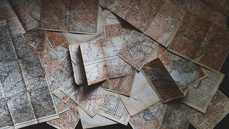
While most of us use our phones or navigation through our cars to get around, maps used to be the main way to get from point A to point B. Today, they are often glimpses into the past or decorative art pieces, showcasing countries, cities, or even towns in minute detail. However, there are some parts about maps you may not know. Check out these six surprising facts about maps below.
6. The world’s largest atlas

Starting our list of facts about maps is the world’s largest atlas. While some of us may remember the large maps tucked into the car, or the spiral-bound ones we used to pore over, this one takes the cake for size. Named the Earth Platinum, the book was published in 2012 and is six feet tall and four and a half feet wide. It weighs an astonishing 440 pounds, with only thirty-one copies made in the world.
5. Nothing is where you think it is
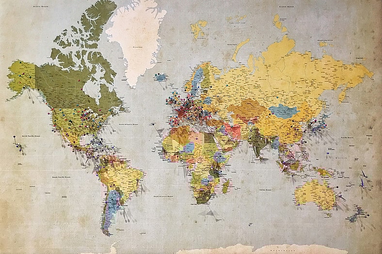
Fifth on our list of facts about maps is that nothing is where you think it is. We all recognize maps like the one pictured here, as they’ve been a fixture in classrooms and world atlases for almost 500 years. However, the map is full of inaccuracies. When it was first developed, the map was for marine navigation, so areas near the equator were true to size, while those far away appear larger than they are. These inaccuracies are slowly being fazed out, with more accurate maps being included in books and schools.
4. There are two Norths

Next on our list of facts about maps is that there are actually two Norths: true North and magnetic North. True North is the direction of the Geographic North Pole. Magnetic North is the direction of the north end of a needle on a compass, and it can move by up to 25 miles per year, depending on the magnetic pull of the Earth.
3. Maps aren’t just for navigation

Rounding out the top three facts about maps is that maps aren’t just for navigation. During Medieval times in Europe, many maps were expensive to create by hand and were used by royals and nobles as displays of wealth, rather than for navigating on the sea. Some maps during World War II were sealed into Monopoly games to help war prisoners escape. Today, maps are used as art, magnetic pin boards, and educational tools.
2. North isn’t always up

Second on our list of facts about maps is that North isn’t always up. While North may be at the top of maps today, this wasn’t always the standard. During the Middle Ages, most Western maps placed the East at the top instead. This is because, in Latin, the word for east is “oriens.” Thus, to hold a map properly, you needed to “orient” it, making sure that East was on top. This is where we got the word “orientation.”
1. Not all places exist

Last but not least on our list of facts about maps is that not all places marked on maps exist. This can either be due to a mistake or purposeful intent. One example of a mistake was that the first map of Africa in 1798 had the Mountains of Kong. While they didn’t exist, those mountains were on maps of Africa for the next 100 years.
As for purposeful intent, modern mapmakers often include fake towns in their maps on purpose. It acts as a signature, and if the mapmaker finds another map with the same fake town, they will know it’s a copy. Those fake towns are also known as “paper towns” or “phantom settlements.”